Aerial Surveys & Inspection

Aerial Surveys provide crucial datasets for planning and development of large-scale project areas. Datasets are typically collected in two different formats. VISUAL DATA (colour/infrared/thermal imagery) and TERRAIN DATA (LIDAR or Photogrammetric). The rapid rise of UAV technology has re-vitalised the interest in this survey field and lowered the cost. We operate a number of different UAV platforms to provide services for mapping, construction monitoring, inspection and land-invasion applications. All of our aircraft and pilots are registered with the SACAA for the above applications. We also have close associations with a number of industry-leading, large-format service providers to provide complete aerial datasets regardless of the project size.

Projects

Dr Pixley Kaseme Road | eThekwini

Dr Pixley Kaseme Street | eThekwini

GeoAfrika Surveys was appointed by the eThekwini Municipality Survey Department to conduct a detailed topographical survey of Dr Pixley Kaseme Street, between Shepstone Road and OR Tambo Parade, including the promenade. The survey was conducted to assist in planning the city's future transportation network.
SAPPI Saiccor Mill - KZN

SAPPI Saiccor Mill | KZN

In 2018 SAPPI embarked on the re-design of the rail system and installation of an automated woodchip system in the woodyard of the Saiccor Mill. SiVEST South Africa was appointed to provide design, engineering and management advisory support services for the civil, structural, mechanical, electrical, controls, instrumentation and drafting works
Cato Ridge Logistics Hub | KZN

Cato Ridge Logistics Hub | KZN

The Cato Ridge Development Project is aimed at improving the Durban Ports' efficiency and create additional capacity through decongestion of the Port Precinct and Durban CBD to keep up with economic growth.
Msikaba River Bridge - Wild Coast

Msikaba River Bridge | Wild Coast

The Msikaba bridge is a cable-stayed steel deck bridge currently under construction, spanning the Msikaba River near Lusisiki in the Eastern Cape of South Africa. The Msikaba bridge forms part of the N2 Wild Coast (N2WC) road project, which aims to improve the travel time between Durban and East London
SANRAL Land Survey Management

SANRAL Land Survey Management

The South African National Roads Agency (SANRAL) network comprises nearly 22,691km of road infrastructure. This equates to an estimated 500 million hectares of land that requires administration, management and survey.
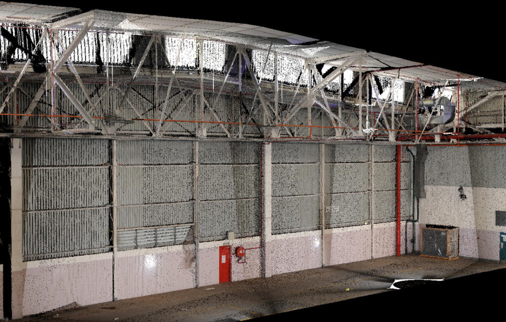
Daimler East London - Scan-to-BIM

Daimler East London | Scan-to-BIM

Daimler (Mercedes-Benz) South Africa are currently undertaking significant extensions and upgrades to their plant in East London. A number of the assembly and workshop warehouses are being extended during this programme, some of which date back as far as the 1950s and contain wooden elements in the structural design. Over