Land audit, valuation and asset registers

With strong links to Land Survey professionals in the GeoAfrika Group, and through its land surveying origins, GeoAfrika Technologies has considerable experience working with the South African cadastre. This experience enables the supply of land audit services to municipal valuation roles, land use management systems and related land legal and land audit projects. Critical to these services, is the provision of the capacity to maintain such datasets so that they retain their value and accuracy over time, in keeping with property transactions and ownership changes. The provision of accurate, reliable and current cadastre provides the basis for many projects and information systems.

Projects

The Greater Edendale and Vulindlela Development Initiative

The Greater Edendale and Vulindlela Development Initiative

The Msunduzi Municipality established the Greater Edendale and Vulindlela Development Initiative (GEVDI) in 2005 to upgrade and redevelop the historically disadvantaged Greater Edendale area. This area was developed in the past with very poor planning controls in place resulting in disorganised development with owners unable to obtain title to their
Property Information Management System

Property Information Management System

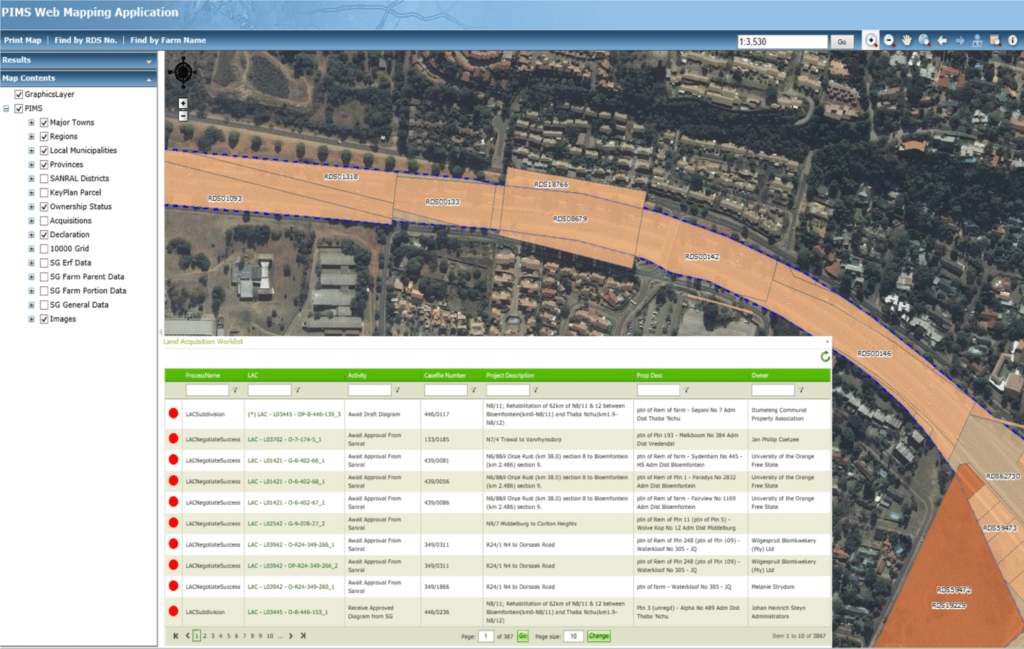
In order to support the business process workflows for properties managed by the Manco-Aurecon JV, GeoAfrika Technologies developed the Property Information System – a web-based Microsoft SharePoint, K2 workflow system that integrates with GIS and allows users to view, query and complete tasks aligned to all property management business processes.
Implementation of a Corporate GIS at The Kwazulu-Natal Department of Transport

Implementation of a Corporate GIS at The Kwazulu-Natal Department of Transport

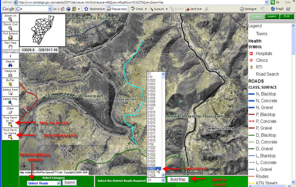
In 2004, the KwaZulu-Natal Department of Transport (KZN DOT) appointed GeoAfrika Technologies to implement and support an enterprise GIS for the organisation, capture and edit of over 60 000km of road network data. GeoAfrika Technologies has supported GIS and associated data environment at the KZN DOT from 2004 to present
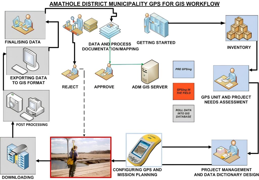
GeoAfrika delivered a comprehensive GIS data capture and verification solution for Amathole District Municipality, enabling accurate spatial data management to support infrastructure planning, disaster response, and informed municipal decision-making.

Amathole District Municipality GIS Data Capture and Verification

Since 2008, the Amathole District Municipality has used GIS technology to capture information about its infrastructure in order to aid in roles like development planning, disaster response and project management. When not properly managed and updated, however, data can become obsolete, and by 2011 the District Municipality found their datasets